Survey and mapping drone
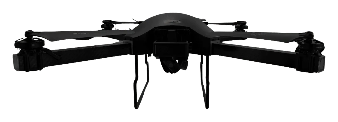
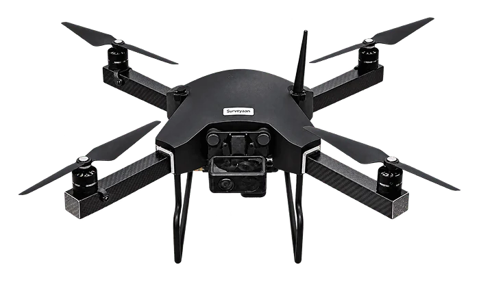
Surveyaan V1
A type certified mapping drone that packs into a 50 cm bag and flies the survey itself.
- 25–30 min
- flight time
- 1.99 kg
- micro category
- 23 MP
- camera
- 60 ha
- mapped in about 25 minutes

Three Surveyaan drones and two SurveyPod receivers, designed and built in India by Nibrus Technologies. We supply them with setup, operator training and after-sales support from Ahmedabad.
From a micro-category mapping drone to a LiDAR platform. All three fly autonomous survey missions.
Survey and mapping drone
A type certified mapping drone that packs into a 50 cm bag and flies the survey itself.
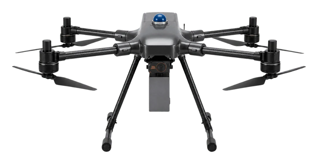
Large-area survey and surveillance drone
Long endurance, swappable payloads: one aircraft for large surveys and live aerial monitoring.
LiDAR mapping drone
Laser scanning and a calibrated camera on one aircraft, for ground that a camera alone cannot see.
| Surveyaan V1 | Surveyaan V1RC Plus | Surveyaan V1 Pro | |
|---|---|---|---|
| Best for | Everyday land survey and mapping | Large areas, PPK accuracy, live monitoring | Vegetated terrain, corridors, vertical accuracy |
| Sensor | 23 MP camera | 23 MP, 20 MP PPK or 2K video payload | LiDAR scanner + 26 MP camera |
| Flight time | 25–30 min | 40–45 min | 40–45 min |
| Range | 1.5 km | 2.5 km | 2.5 km radial |
| Weight | 1.99 kg | 2.65 kg with payload | 6 kg |
| Category | Micro | Small | Small |
| Stated accuracy | X/Y within 10 cm, Z within 15 cm (onboard GPS) | Under 5 cm X/Y, under 10 cm Z (with GCP) | Under 10 cm horizontal, under 5 cm vertical |
Centimetre-level positioning for control points, boundaries and stake-out, and the ground control behind an accurate drone map.
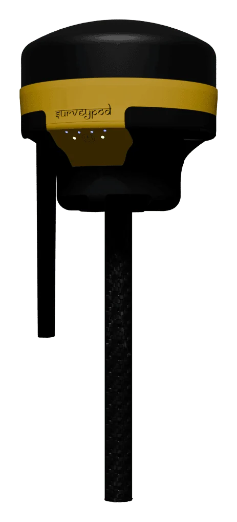
DGNSS receiver
A rugged RTK and PPK receiver that works a full day on one charge.
DGNSS receiver with IMU tilt
Measure the point without levelling the pole. Lean it up to 60° and record.
| SurveyPod V1 | SurveyPod V1 Tilt | |
|---|---|---|
| Pole must be vertical | Yes | No |
| Bubble levelling | Needed at every point | Not needed |
| Points near walls and fences | Difficult | Reached by leaning the pole |
| Speed per point | Standard | Faster |
| Tilt compensation | No | IMU, up to 60° |
Specifications on this page are the manufacturer’s published figures and may change. Ask us for the current brochure.
We start from what you need to measure and recommend the model that fits, not the biggest one.
The system is configured and demonstrated before it goes to the field.
Mission planning, safe flying, ground control and processing, on your own equipment.
A local team in Ahmedabad for service, spares and questions.
Send us the site location and what you need to know about it. We will reply with scope, timeline and a quote.