
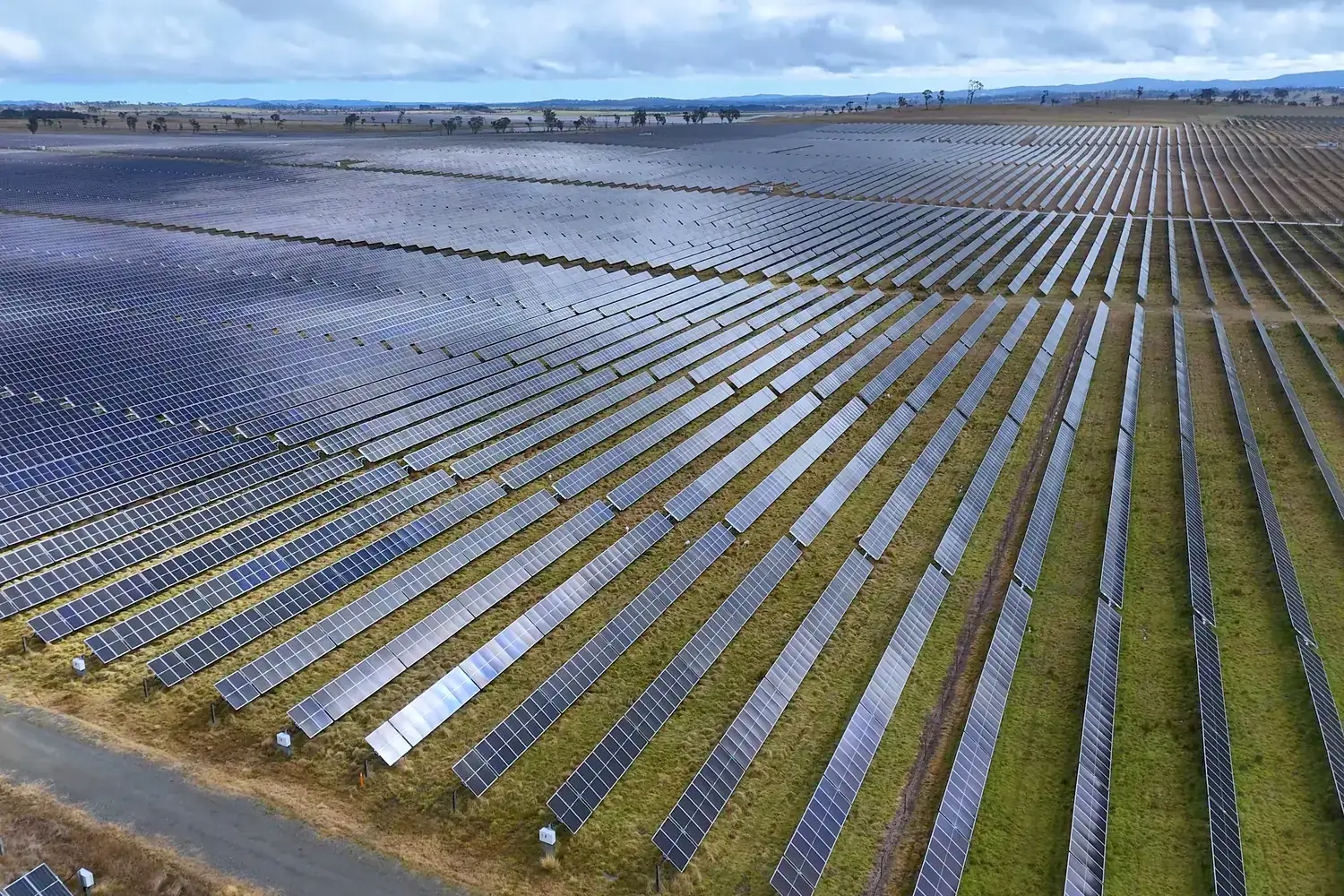
Drone survey for solar sites
Terrain data to design the plant, and inspection data to keep it performing once it runs.
What the survey gives you
A solar project needs accurate terrain before a single pile is driven, and regular inspection once thousands of modules are in the field. Drones do both: they map large, open sites quickly for design, and later fly the rows to find the modules that are not performing.
Why use a drone
Solar parks cover hundreds of acres. Surveying that area on foot, or checking every module by hand, takes weeks. A drone covers the same ground in days and records the position of every feature and every fault.
Where it is used
Site assessment
Levels, slopes and obstructions mapped to judge whether land suits a plant.
Layout and grading design
A terrain model for table layout, cable routes, roads and drainage.
Construction monitoring
Progress of piling, mounting and module installation tracked block by block.
Operations and maintenance
Soiling, breakage, vegetation and hot modules located for the maintenance crew.
Questions about solar site surveying
More answers in our drone services FAQ, or see how typical projects run.
Why survey a solar site by drone?
Solar sites are large and open, which suits aerial survey. One survey provides the levels, slopes and features needed for layout, grading and drainage design.
Can a drone find faulty solar panels?
Yes. Visual imagery shows soiling and damage, and thermal imagery, where it is in scope, shows modules or strings running hotter than those around them.
At what project stage should the survey be done?
Ideally at site selection or early design, then again during construction and periodically during operation.
Have a project in the air?
Send us the site location and what you need to know about it. We will reply with scope, timeline and a quote.
- WhatsApp: +91 99091 00410
- Phone: +91 99091 00410
- Email: info@megatronixvision.com