No products in the cart.
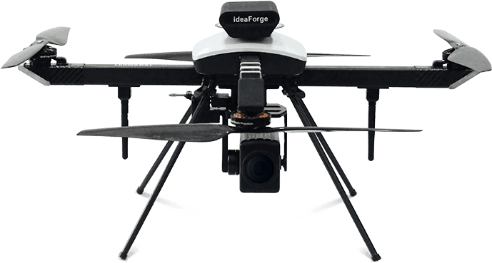
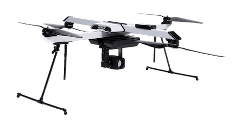
Product Description
Specifications
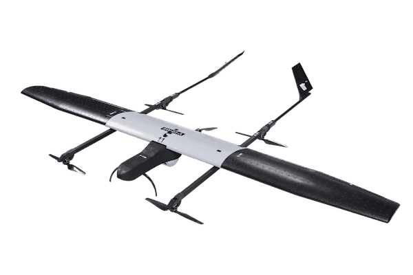
- Endurance: 20-25 minutes @ MSL
- Range (LoS): < 2 km*
- Weight: < 2 kg
- Wind Resistance: Up to 20 knots or 36 km/h
- Max Launch Altitude: 3000 m AMSL(Above Mean Sea Level)
- Operating Altitude: 200 m AGL**(Above Ground Level)
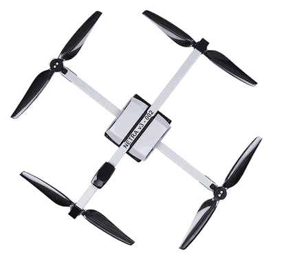
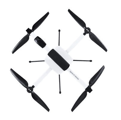
- Vehicle Size: < 80 cm x 80 cm
- Next Generation Smart Battery: Built-in Battery Health Monitoring
Fail Safe Features
- Multiple GPS for redundancy
- Return home on low battery
- Return home on high winds
- Return home on communication failures
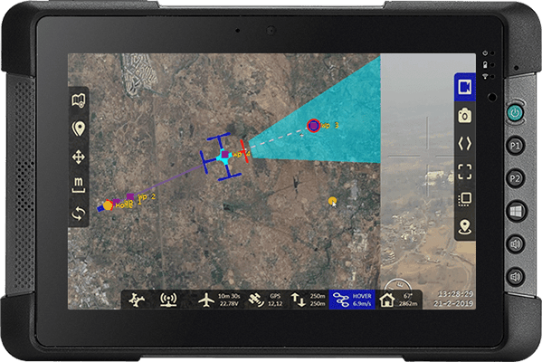
GCS Application Software
- Pre-Flight self-checks
- Simultaneous real-time map tracking & video streaming
- In-flight UAV health monitoring
- Live flight parameters
- Compatible with Laptop/Tablet
Digital Sky Compliant
- NPNT Compliant Autopilot
- Flight area breach prevention
- Independent GPS-tracking
- Built-in RFID Tag
- Fire resistant UIN plate
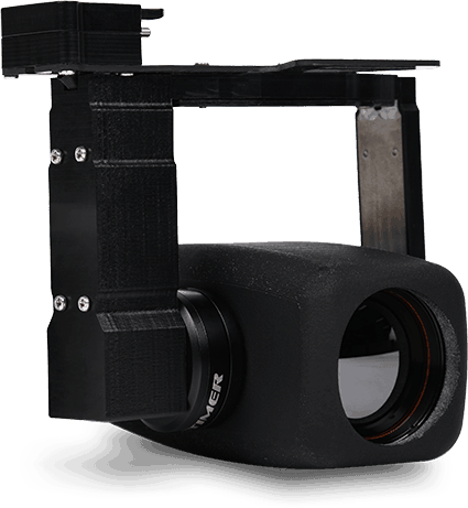
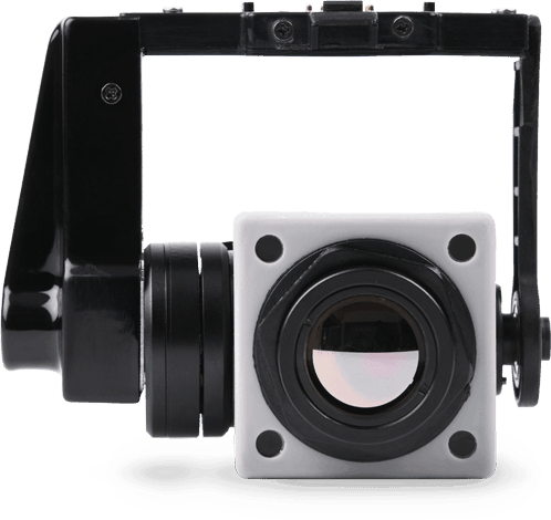
Payloads
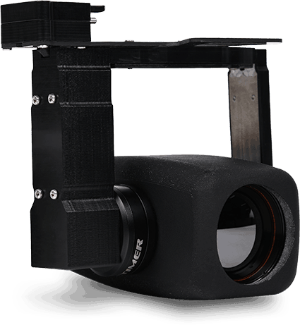
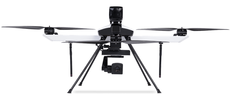
- Daylight Payload: 720 p, 3x Optical Zoom
- HD Imaging Payload: 15+ MP
- Thermal Payload (Black/White hot): 320 x 240 pixels
Ground Control Station (GCS) Features
Used by over 1200 pilots, ideaForge’s Ground Control Software is now available for NINJA UAV, allowing autonomous flight control and best-in-class safety features.
Applications
Wind Energy
Access hard-to-reach systems easily and identify potential points-of-failure
Construction & Real Estate
Plan and monitor projects and inspect hard-to-reach areas
Precision Agriculture
Maximize farm yield with with targeted multispectral inspection of crops



Reviews
There are no reviews yet.