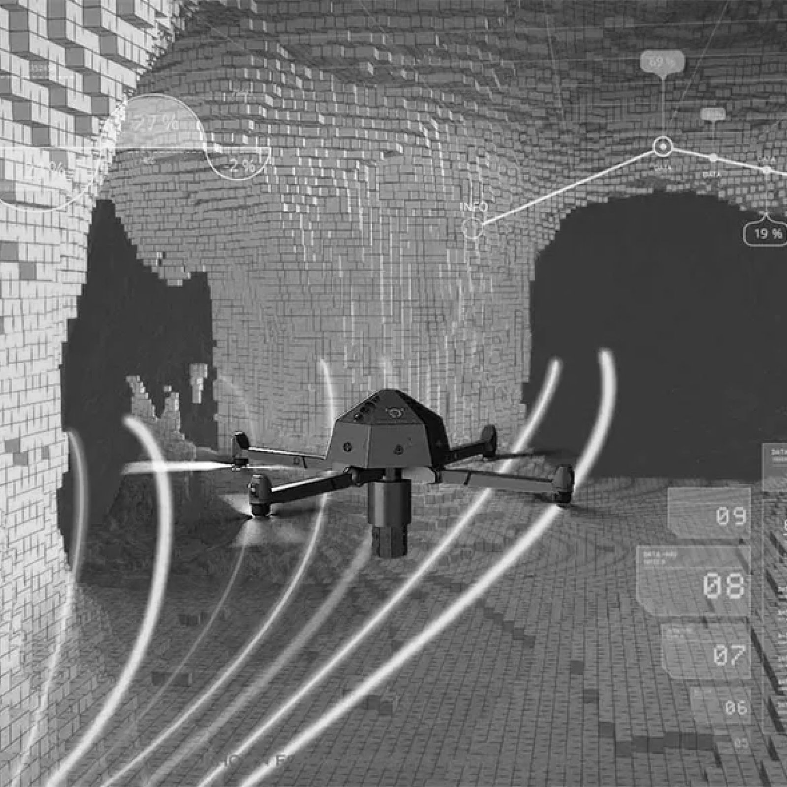
Advanced Aerial Mapping with Unmatched Accuracy
LiDAR-equipped drones capture high-precision 3D models for industries requiring in-depth terrain and infrastructure mapping. This cutting-edge technology enables professionals to conduct faster and more detailed surveys with minimal ground effort.


applications
High-Resolution 3D Terrain Modeling
Generate detailed topographic models for land planning, forestry, and environmental research.
Urban Planning & Infrastructure Development
Support city planning and construction projects with precise 3D maps for roadways, railways, and buildings.
Archaeological & Geological Research
Preserve historical sites and conduct geological studies with advanced aerial LiDAR technology.
Flood & Disaster Risk Mapping
Identify flood-prone zones and create accurate disaster management plans with terrain-based risk assessments

