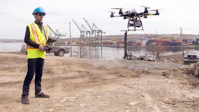
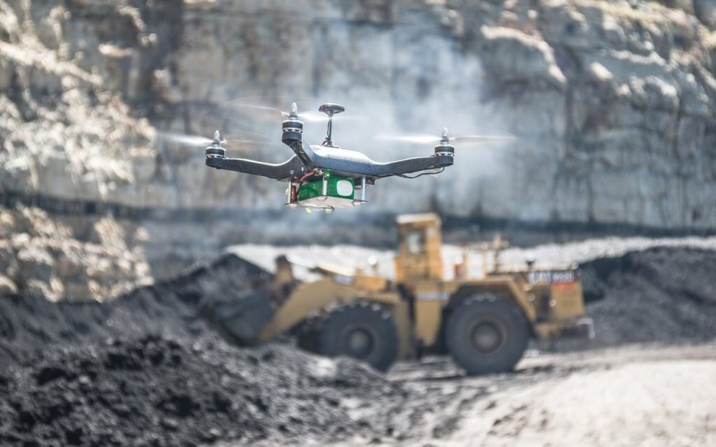
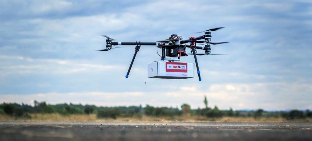
Complete surveying and mapping projects more easily and safely with a Microdrones UAS. Our drones allow you to effortlessly plan mapping jobs, automatically generate flight paths, export your route for a clearer overview, quickly laser scan entire areas, and create high-resolution landscape images.
Applications of drones
Complete surveying and mapping projects more easily and safely with a Microdrones UAS. Our drones allow you to effortlessly plan mapping jobs, automatically generate flight paths, export your route for a clearer overview, quickly laser scan entire areas, and create high-resolution landscape images.
When inspecting tall or hard-to-reach structures, let a Microdrones UAS do the dangerous work. Industry-leading flight times and resistance to weather and electromagnetic fields make our drones a great choice for vertical and horizontal infrastructure inspections.
Building surveyors will know that most building surveys require visibility of the buildings roof to identify its condition and assess any defects. In most instances getting access to a roof can be difficult and can involve the erection of a scaffold, use of a cherry picker or ladders. Using a small drone to perform the survey can save time, money and reduce health and safety risks.
With a single automated flight, a drone can collect timely, georeferenced imagery that is quickly transformed into a precise 3D copy of your site. Use this version to calculate volumes, perform site surveys, optimise traffic management, design road layouts and much more
Microdrones packaged systems are revolutionizing agriculture. Our drones help farmers save time while more effectively monitoring the health of crops and livestock, while collecting the information needed to apply water, pesticides, and fertilizers more efficiently.
Consider Microdrones to help protect civilians from threats. Our drones are simple to use and can be deployed much more quickly and inexpensively than manned aircraft.
Drones, aka unmanned aircraft systems (UAS), are becoming an asset to public safety. As the number of drones in our skies increases, the industry has faced concerns about safety. But UAS are actually very safe to operate and can even improve public safety, especially with the help of operational intelligence (OI) technology to improve situational awareness in shared airspace.
Gain a highly accurate aerial perspective without disturbing the environment being studied. Our impressively quiet Microdrones UAVs are the perfect tools for gathering data and images you need to achieve your research goals.
With the latest advances in technology and visual media, combined with the increased needs in dealing with congestion more effectively and directly, the use of Unmanned Aerial Aircraft Systems (UAS) has emerged in the field of traffic engineering.


